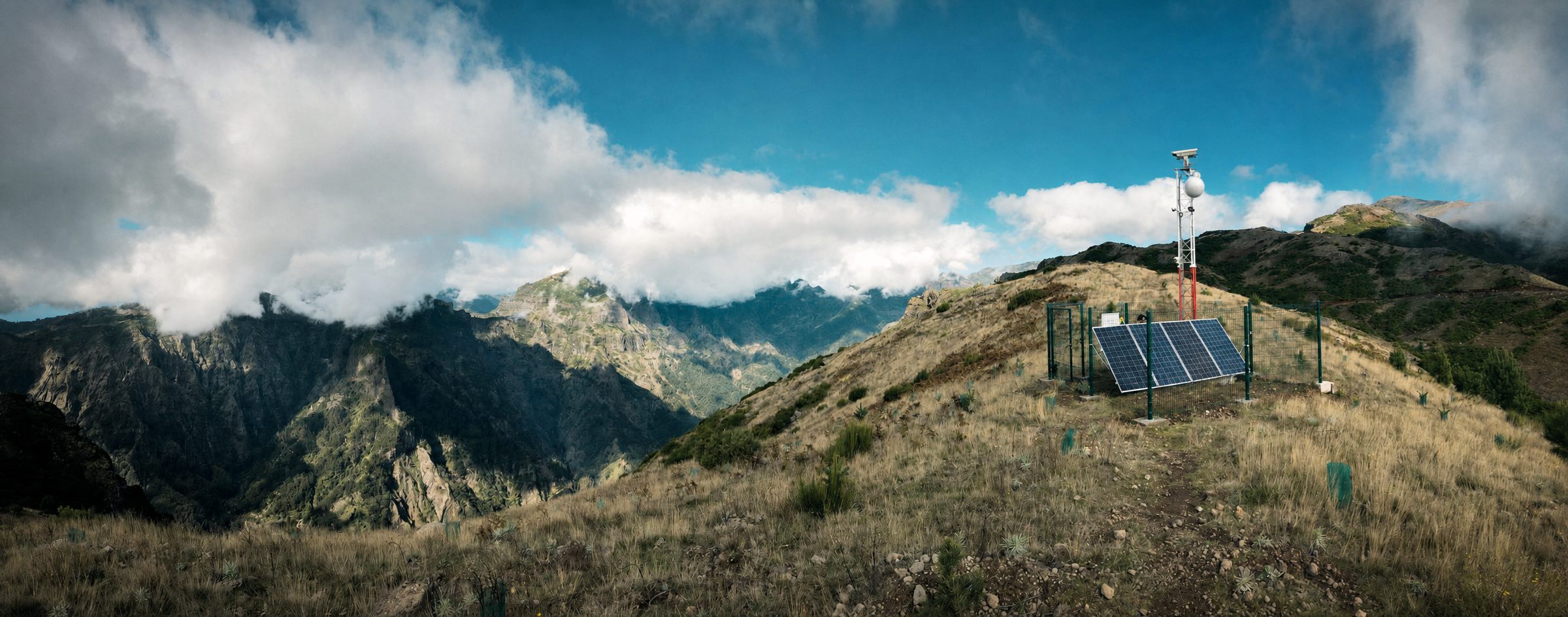
Detecting isn't enough —
it has to be early!
A wildfire can double in size every few minutes — so every step, from lens to alert, is built for speed.
Our solution
SafeForest® isn't one rigid product — it's a modular system you configure around your terrain and your budget. Every deployment rests on two essentials: the detection camera, the AI eye that never blinks, and somewhere to run its AI — on-tower edge computing or a cloud server, one or the other. Everything else is optional: add verification cameras, IoT gas and heat sensors, or fire-spread simulation only if and when you need them. And because it's built to scale, you grow it one camera, one grid at a time — from a single private property to hundreds of square kilometres of forest, rural land, solar farms or industrial sites. Deep-AI powered, 24/7, in all weather.
01 · DETECT · essential
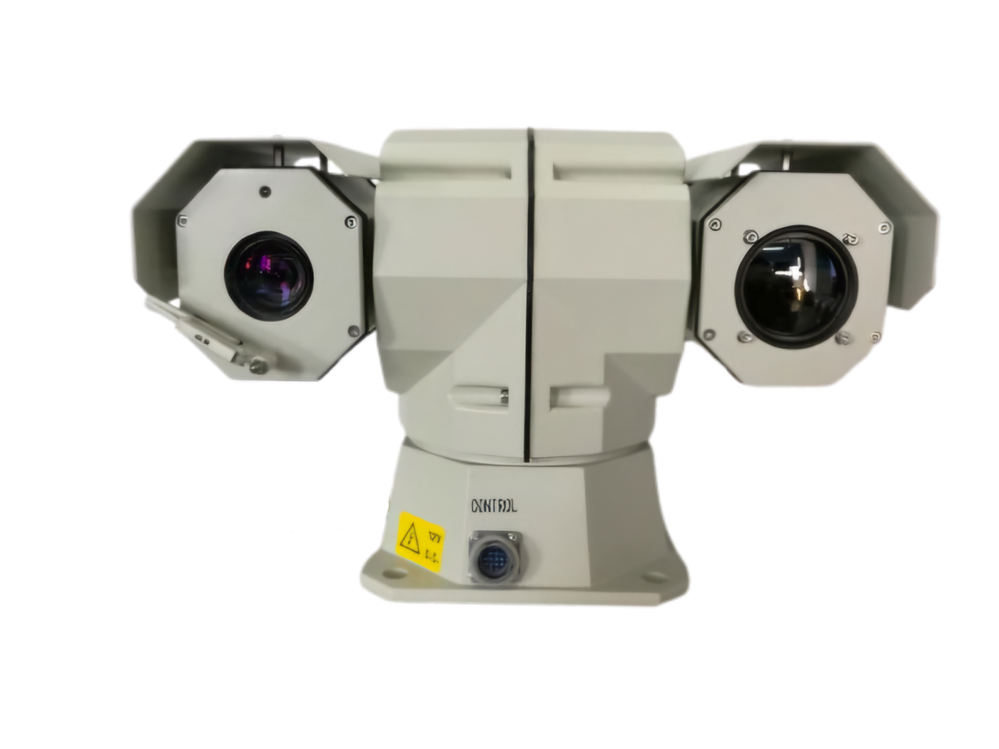
The detection camera — the eye you can't skip
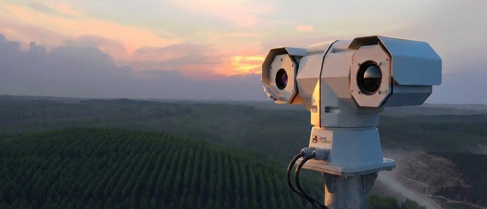
The AI eye at the core of every SafeForest® deployment. It sweeps its grid non-stop — day, night and through haze — and flags the first smoke, thermal hotspot or flame in seconds. Every other module is built around it.
- 4K optical + infrared thermal in one PTZ head — nothing hides, not even at night
- Deep AI trained on 2M+ real fire images — smoke, flame and hotspot detection
- Also flags intrusion, suspicious vehicles and people — security, not just fire
- Detection parameters adjustable in time and space, tuned to your site
02 · VERIFY · optional
Independent eyes confirm — in any weather
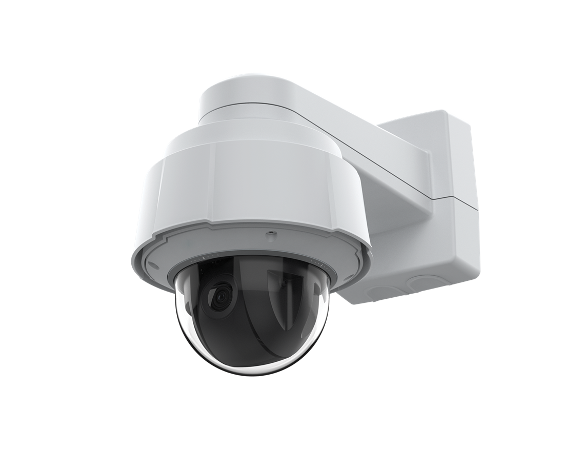
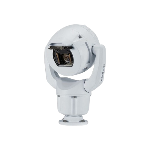
Want a second opinion before crews roll? Optional monitoring cameras take a closer look and keep watching in weather that would blind a single sensor — an independent confirmation before anyone is dispatched.
- Axis PTZ — SafeForest® System monitoring unit for close-up confirmation
- Bosch MIC — SafeForest®-Shield, all-weather, fused with IoT gas & heat sensors
- Reaches blind spots outside the detection camera's line of sight
- Fully automatic or human-in-the-loop — your call
03 · EDGE AI · edge or cloud
The box that thinks on the tower
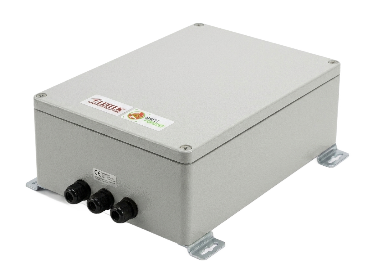
The AI has to run somewhere. For sites where every second and megabyte counts, SafeForest® Edge runs it right on the tower — weatherproof and solar-powered, working where the grid doesn't reach. Prefer the cloud instead? That works too; one or the other is all it takes.
- On-site GPU inference — detect without a cloud round-trip, at low latency
- Local recording and autonomy if the network or grid goes down
- Fuses camera, infrared and IoT signals into one verdict
- Privacy by design — imagery processed on the tower
04 · ALERT
A geolocated alert, seconds after first smoke
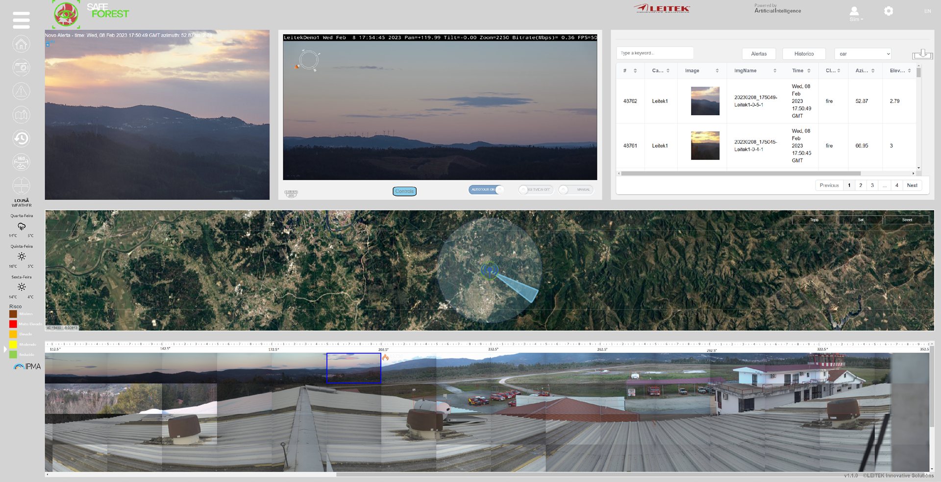
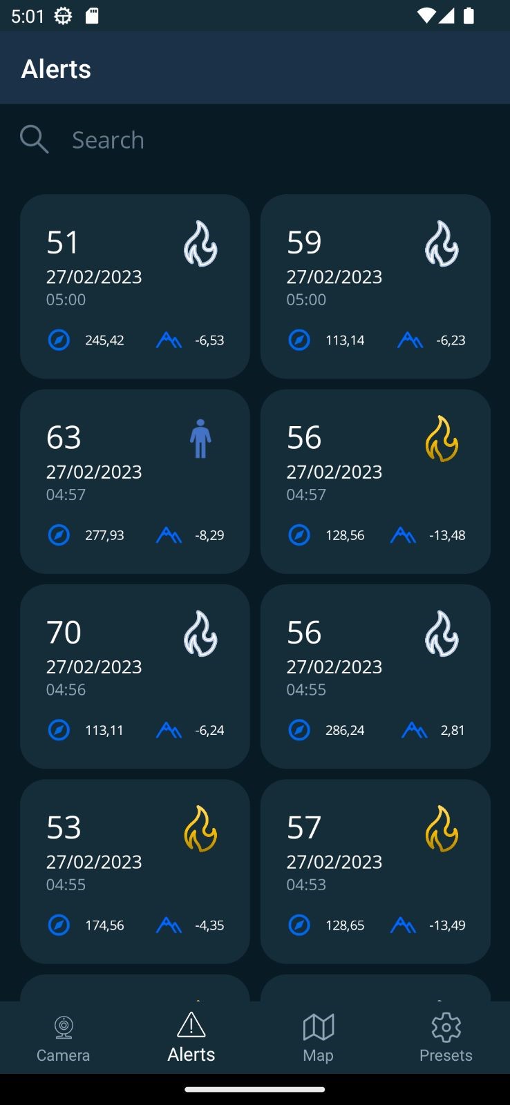
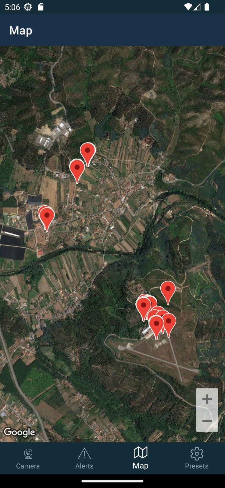
Seconds after the first smoke, a geolocated alert reaches the web dashboard and the mobile app — so crews drive to the fire, not to a guess. Run it on your own infrastructure, or fully hosted with the Cloud SaaS option.
- Live view, 360° panoramas, satellite mapping and augmented-reality overlays
- Confidence score, azimuth and precise geolocation on every alert
- Full alert history with frames and metadata
- Cloud SaaS: web dashboard, ML and storage — no infrastructure required
05 · ANTICIPATE · optional
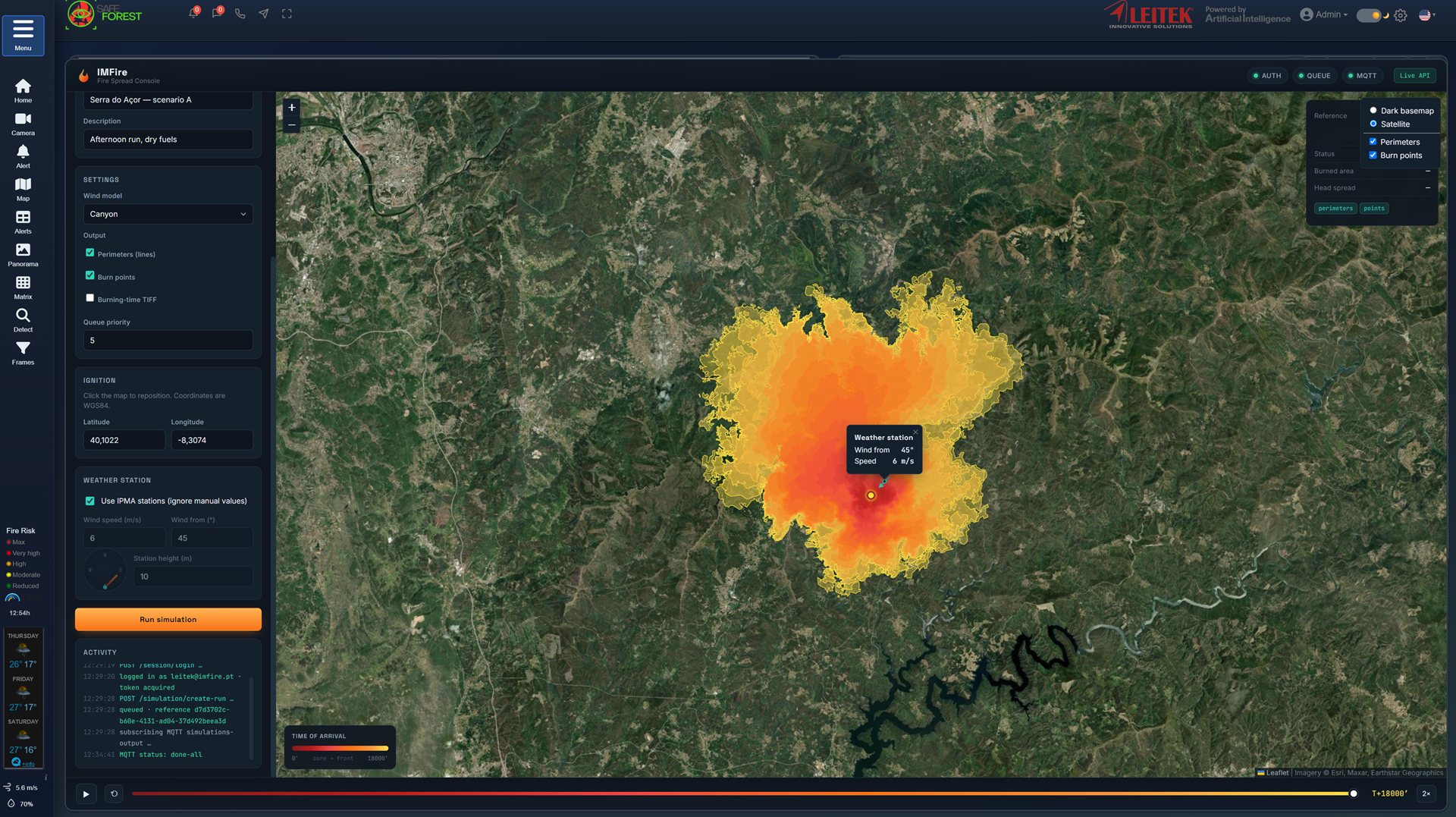
IMFire — see the spread before it happens
For every ignition, the optional IMFire console simulates fire spread over real terrain, wind and weather — so commanders position crews where the fire will be, not where it was.
- Physics-based spread simulation on satellite maps
- Live weather and IPMA station integration
- Time-of-arrival perimeters for evacuation and planning
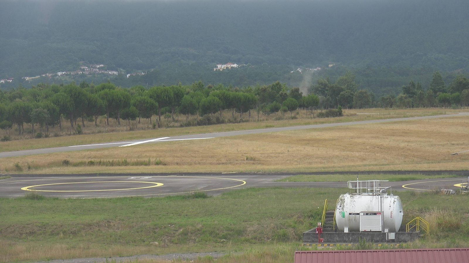
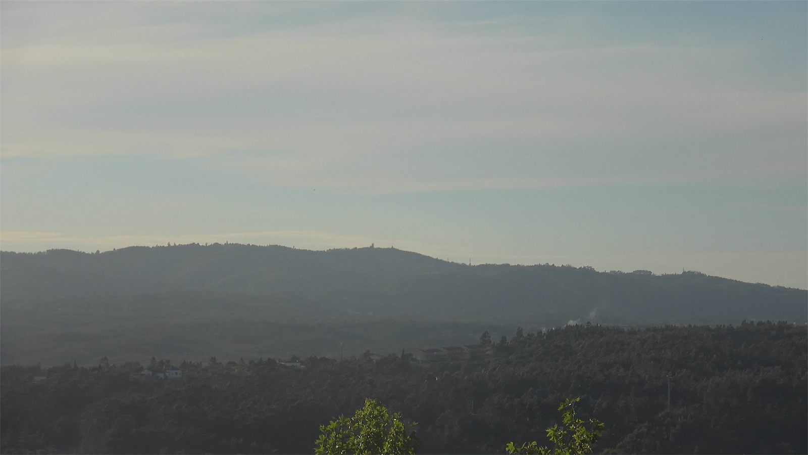
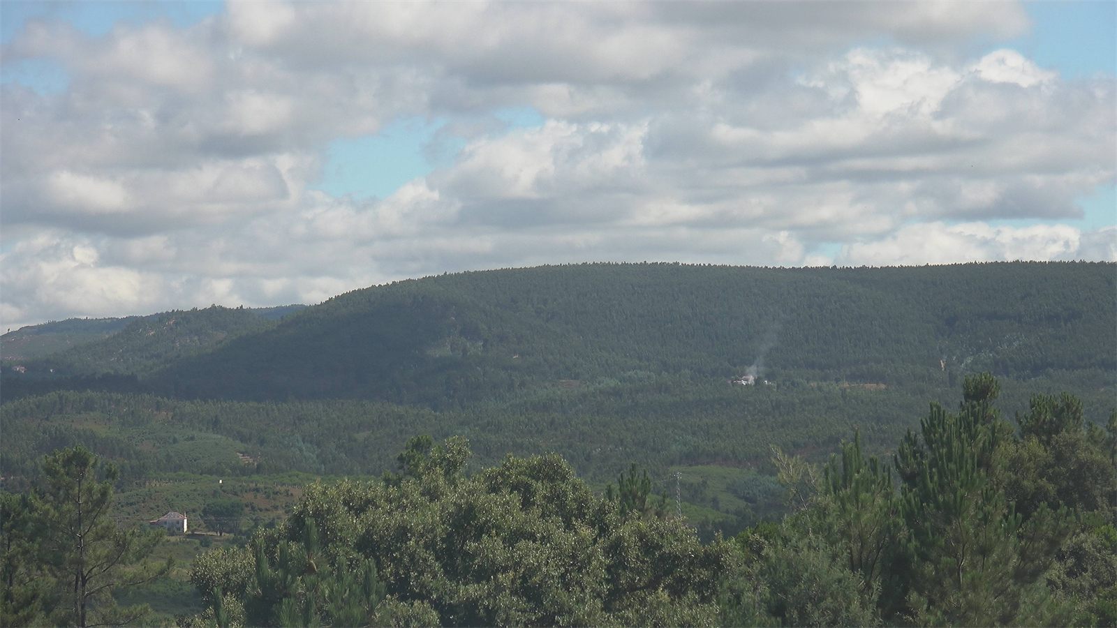
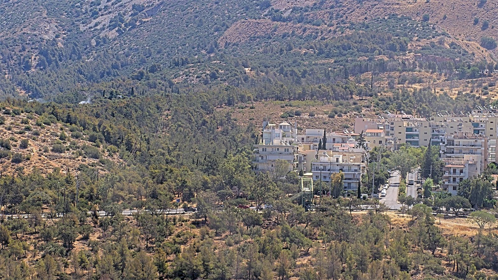
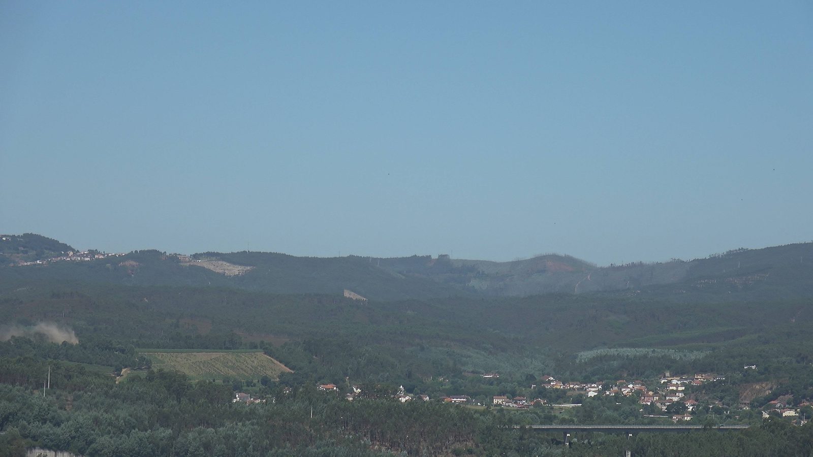
First smoke, caught in the field
Real, unedited frames from SafeForest® cameras on live deployments — each one marks the moment the AI caught a fire at its first wisp of smoke, before it had the chance to spread.
See it watching your terrain.
We'll walk you through the system live, with real detections — and design the grid that fits your terrain.